

Description |
|
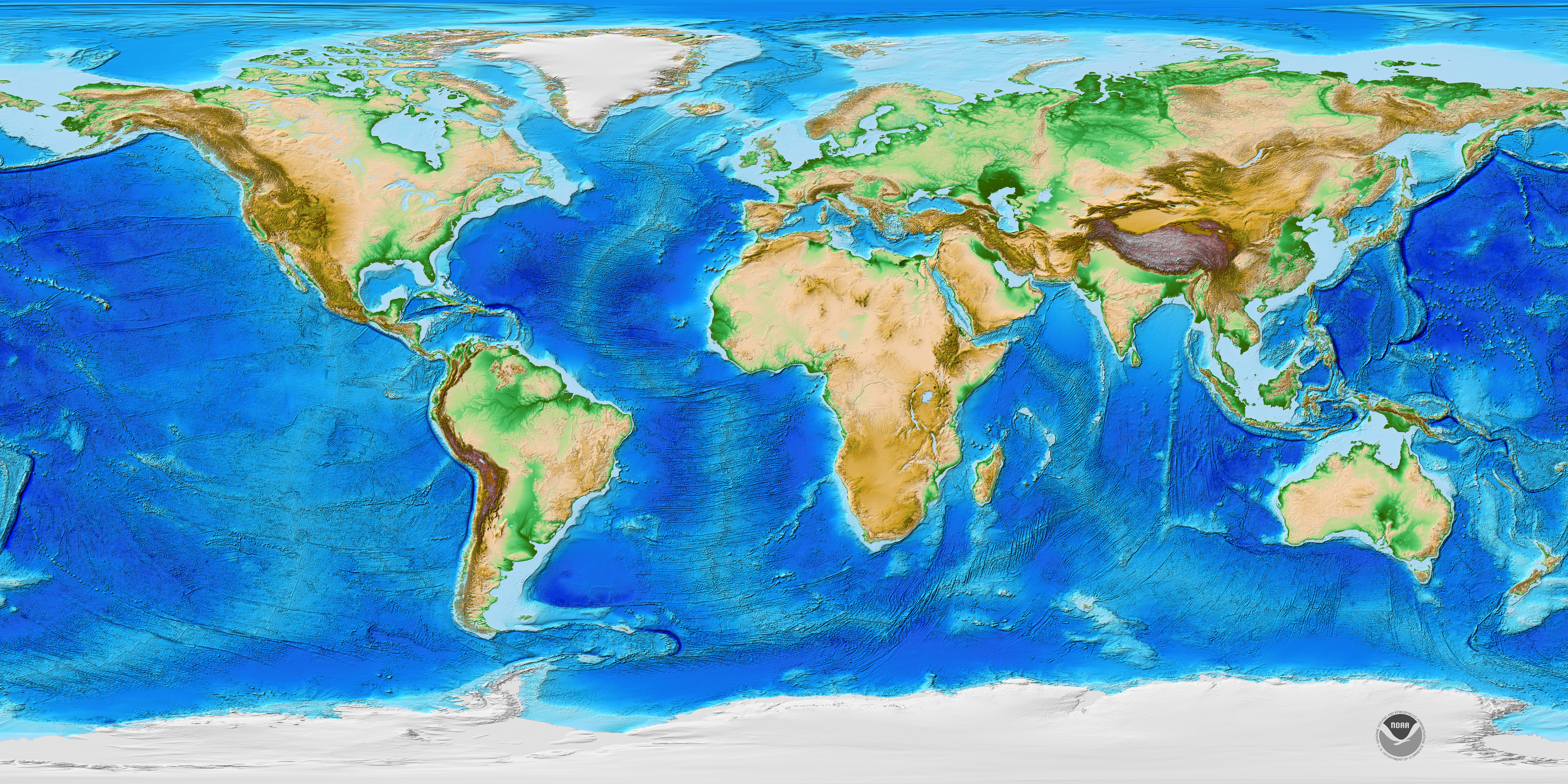
This NOAA National Centers for Environmental Information (NCEI) video shows solid Earth topography (land height and sea depth) of the entire globe based on the ETOPO2 data set. Coloration and relief (texture) on the map provide indications of elevation. Warmer colors are indicative of higher elevations and cooler colors of lower elevations. |
The resolution of the data provided is such that each pixel corresponds to 2 minutes of latitude and longitude (when fully zoomed in), at the equator this translates to about 3.7 kilometers (2.3 miles). See the references section for more information on this data. |
Zoomable Map |
|
This zoomable interactive ETOPO1 map (link) shows global elevation with 1 arcminute resolution. | |