

Before the days of satellite-tracked floats and buoys and satellite-based altimeters and scatterometers, scientists relied on ship drift data to map currents. In the mid 1800s, Matthew Fontaine Maury of the U.S. Naval Oceanographic Office initiated an effort to assemble navigation charts that included information on currents. They based their current measurements on logs collected from Naval and merchant ships. At the time, ships navigated through dead reckoning. Once or twice a day, a ship noted its position based on celestial navigation, and recorded its speed, and compass direction. A ship that sails through still waters and keeps a straight course should arrive at a predicted point based on its speed and direction. But if currents are present, they will likely push the ship off course and alter its speed. One can estimate the direction and speed of these currents by subtracting the predicted vector based on dead reckoning from the vector representing the ships actual speed and direction. 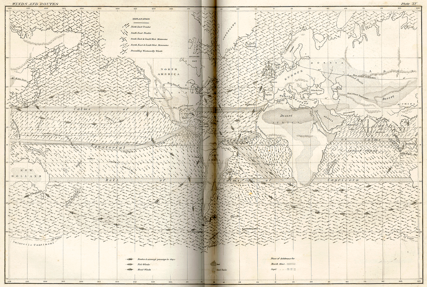
(Click image to enlarge) The U.S. Naval Oceanographic Office continued collecting these ship drift data until the mid1970s. Peak data collection took place between 1920 and 1940. The National Oceanographic Data Center holds over four million observations of currents that are available to scientists on CD ROM. Today oceanographers have far more precise tools for measuring surface currents. Ships now navigate using GPS (Global Positioning Satellites), not dead reckoning. Acoustic Doppler enables ships to profile currents to a depth of several hundred meters. Still, much of what oceanographers know about large-scale ocean circulation patterns and about the velocity, kinetics, and seasonal variability of surface currents and eddies are based on ship drift data. These data, however, have drawbacks that have prompted many oceanographers to question their continued usefulness given today’s technology. First, the accuracy of these data depended on mariners’ abilities to precisely determine their positions, speed, and direction. It is certain that they made plenty of mistakes, introducing a large degree of random error into the measurements.
|
More importantly, the calculations assume that currents are the only external forces altering each ship’s course. They ignore the effects of wind and waves. (The Navy did discard data collected during storms or heavy seas.) Despite these drawbacks, Phil Richardson of the Woods Hole Oceanographic Institution continues to find ship drift data useful. He argues that the huge volume of measurements collected over many years, especially along the established shipping lanes, lessens the effects of random navigation errors. Disparate values cancel each other out. He has also tackled the issue of wind. In a 1997 paper, he used theoretical models and ship drift data from intersecting track lines in the tropical North Atlantic to calculate the likely errors due to leeward winds (winds blowing towards the side of the ship). He concluded that the effects of wind are magnified in areas where the currents are weak. In regions where the currents are stronger, wind has a much smaller overall effect on a ship’s course. By applying these error calculations to the ship drift data, Phil has improved their accuracy. Phil has used ship drift data to provide him with overviews of ocean currents in areas he has studied. To map the currents, he divides a region into grids or bins then averages the velocity vectors within each bin. If data are plentiful enough, he can calculate the seasonal or monthly averages as well. The Navy has also developed atlases of currents from ship drift data. But instead of averaging all of the vectors no matter which direction they point, they average the vectors of the prevailing currents. Phil says for research purposes he prefers to include all of the data in order to get a more comprehensive picture of where the water is flowing. One of Phil’s most successful uses of ship drift data was to study seasonal variability in the equatorial currents in the Atlantic Ocean. These currents are quite strong, but at the time not much was known about them. In the 1980s, Phil and his colleagues, in cooperation with a team of French scientists, sailed to the tropical Atlantic to deploy drifters. Before heading out, Phil took a look at the ship drift data. He divided the area into 197 bins, each covering two degrees of latitude and five degrees of longitude, and calculated the monthly average currents within each bin. Because of the high volume of data (a total of 438,000 ship drift observations), he was able to develop an excellent picture of the area currents that spanned all seasons. By contrast, drifters only provided data over a limited timescale. He then used these maps to help validate some models of the currents and to help in the placement of buoys, which provide a more detailed picture. By combining the ship drift observations with the drifter data, he and his colleagues were able to develop and excellent understanding of the currents. |